The Columbia River Gorge acts as a border between Washington and Oregon. Stretching more than 80 miles, the canyon is home to numerous gorgeous waterfalls, streams, trails and great lookout points. With cliffs and overlooks of Washington to the north and breathtaking vistas of Oregon’s mountains and waterfalls to the south, the Gorge is unique in its natural and cultural history.
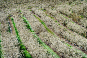
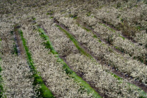
- Apple Blossom Time Panorama Point County Park, Columbia River Gorge, Oregon | Apr 2018
- Gal-1804-Oregon-1312-Master
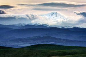
- Mt. Hood Dalles Mountain Ranch, Oregon | Apr 2018
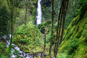
- Starvation Creek Falls Starvation Creek State Park, Columbia River Gorge, Oregon | Apr 2018
- Starvation Creek I Starvation Creek State Park, Columbia River Gorge, Oregon | Apr 2018
- Starvation Creek II Starvation Creek State Park, Columbia River Gorge, Oregon | Apr 2018
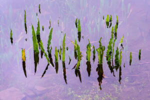
- Reflections Catherine Creek State Park, Oregon | Apr 2018
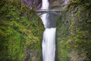
- Multnomah Falls Columbia River Gorge between Corbett and Dodson, Oregon | Apr 2018
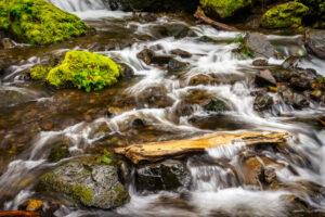
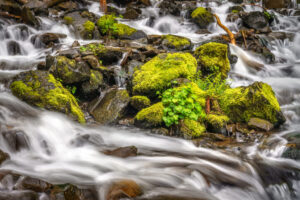
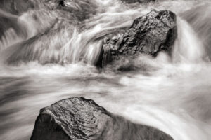
- Torrent Bridal Veil Creek, Columbia River Gorge, Multnomah County, Oregon | Apr 2018
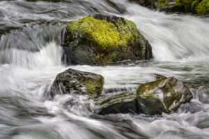
- Cascade Bridal Veil Creek, Columbia River Gorge, Multnomah County, Oregon | Apr 2018
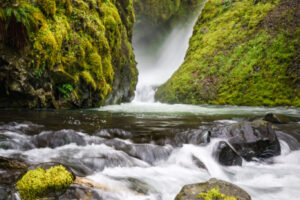
- Below Bridal Veil Falls Bridal Veil Creek, Columbia River Gorge, Multnomah County, Oregon | Apr 2018
- Falls in a Frame La Tourell Falls, Guy W. Talbot State Park, Columbia River Gorge, Oregon | Apr 2018
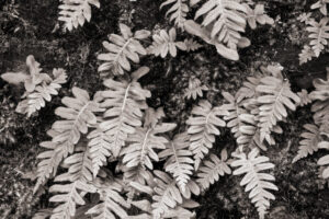
- Ferns Guy W. Talbot State Park, Columbia River Gorge, Oregon | Apr 2018
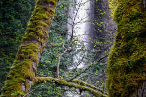
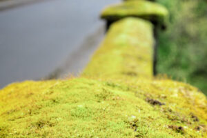
- Moss Guy W. Talbot State Park, Columbia River Gorge, Oregon | Apr 2018
- La Tourell Falls Guy W. Talbot State Park, Columbia River Gorge, Oregon | Apr 2018

